
Lost rivers: The Effra
The Effra witnessed Lambeth’s transformation from rolling countryside to London suburbs. New neighbourhoods – and their sewage – forced the river underground. But the Effra was never easily contained.
Lambeth
-
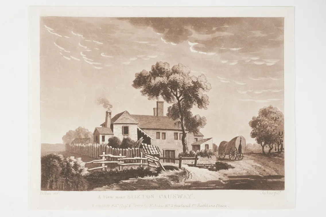
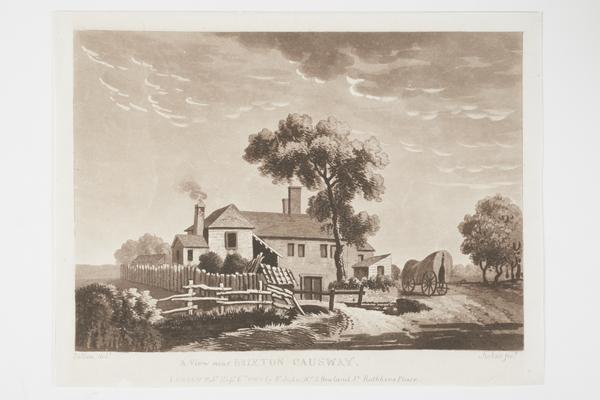
A rural view near Brixton Causeway, probably with the River Effra flowing in the foreground.
Flooding and folklore
The long River Effra spanned the length of Lambeth, travelling through south London from Upper Norwood to Vauxhall Bridge. It passes through West Norwood Cemetery, around Brockwell Park and the Kennington Oval, and is thought to pop out into the River Thames near the top-secret SIS (or MI6) Building.
Like many of London’s lost rivers, the Effra has been incorporated into the city’s sewer system since the mid-19th century. But its presence is still felt across south London, with many places in Brixton named after it.
Why is it called the Effra?
There are many ideas for why it’s called the Effra – but not a lot of supporting evidence. Some think it could be derived from the early medieval English word for ‘bank’ or the Celtic word for ‘torrent’.
Others believe it comes from the area of Hethra, or Manor of Heathrow, which the river valley ran along. Just imagine it said in a strong south London accent.
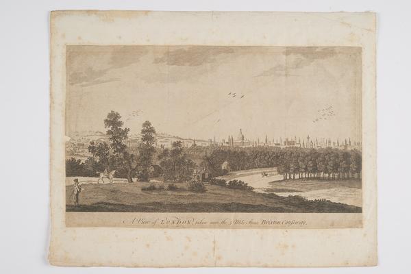
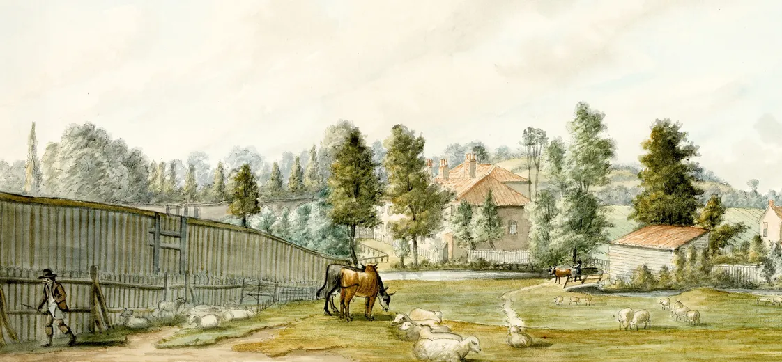
A rural view of south London
This print from our collection shows a view of London from Brixton Causeway in around 1750. This rural scene would be situated bang in the middle of busy Brixton today.

A view of London, taken near the five mile stone Brixton Causeway, around 1750.
The road was built to avoid the swamps and overflow of the Effra, seen to the right of the print. And as the river was surrounded by high ground, it overflowed rather regularly.
“The whole of Brixton Washway had the appearance of a large lake”
Jackson's Oxford Journal, 16 May 1818
After heavy rainfall in 1818, the Brixton Washway, now Brixton Road, flooded so badly it “had the appearance of a large lake”, according to the papers. The landlord of the White Horse public house on Brixton Causeway drowned. His body was found with “many severe bruises… from being dashed about in the current”.
Swallowed up by London’s suburbs
During the 1800s, rural areas like Brixton and Dulwich were developed into London suburbs. Streets and housing were built along the Effra. This put more pressure on the flow of the river. It seriously flooded the area a number of times throughout the century.
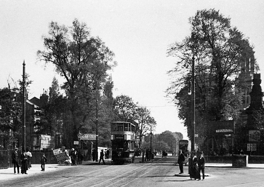
Effra Road in Brixton.
And there was another problem. The Effra had been turned into an open sewer for this growing population’s waste. It was covered over between 1820 and around 1860. And by 1865, its outflow had been connected into engineer Joseph Bazalgette’s intercepting sewers.
“The Effra still had a habit of reappearing in the form of floods”
Despite being forced underground, the Effra still had a habit of reappearing in the form of floods. The sewer overflowed in 1914, flooding houses and forcing residents to evacuate the area. After more floods in the following couple of decades, the sewer was widened in 1935.
Shaping south London
You can still see remnants of the Effra in the Victorian ‘stink pipes’ lining the Brixton course of the river. These towering green tubes were built to allow gases – and smells – to escape from the sewer system.
The Kennington Oval cricket ground was also partly shaped by a curve in the Effra. Its seating banks were built in 1880 using soil excavated when the river was covered.
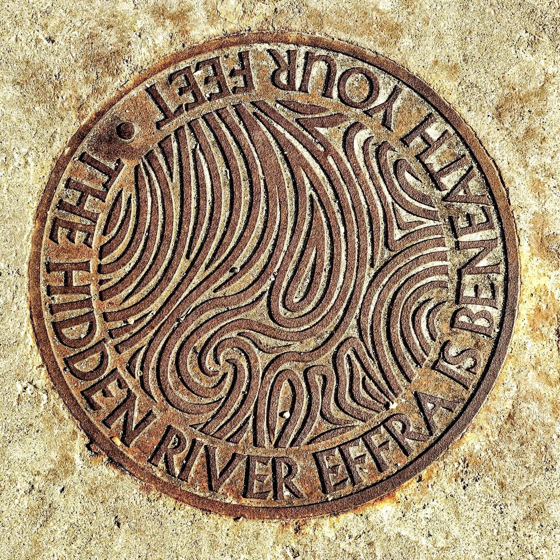
A pavement plaque marks the course of this hidden river.
The myths of the Effra
The Effra also lives on in London folklore, with many colourful myths told about its history.
Legend has it that in the 19th century, a coffin from West Norwood Cemetery sank into the river and drifted downstream into the Thames. And that Danish king Cnut the Great or Queen Elizabeth I have sailed down the river.
Of course, these are just figments of London’s imagination. The Effra has always been too small and shallow to be navigable by boat.
Tags
-
Paintings, Prints & Drawings
-
Paintings, Prints & Drawings
 Paintings, Prints & Drawings
A view of London, taken near the 5 mile stone Brixton Causeway (engraving)
1740-1780
-
Paintings, Prints & Drawings
 Paintings, Prints & Drawings
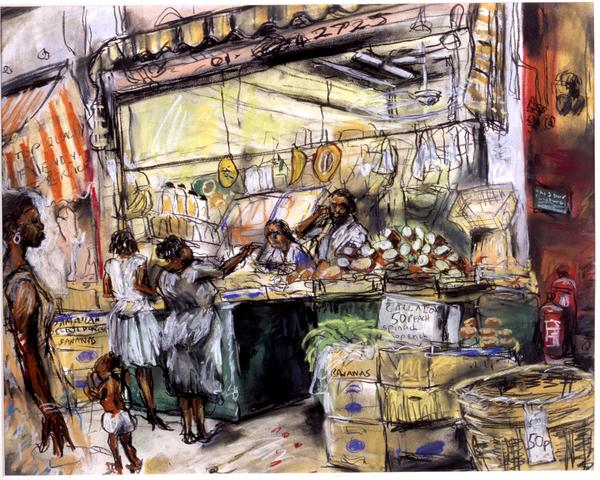
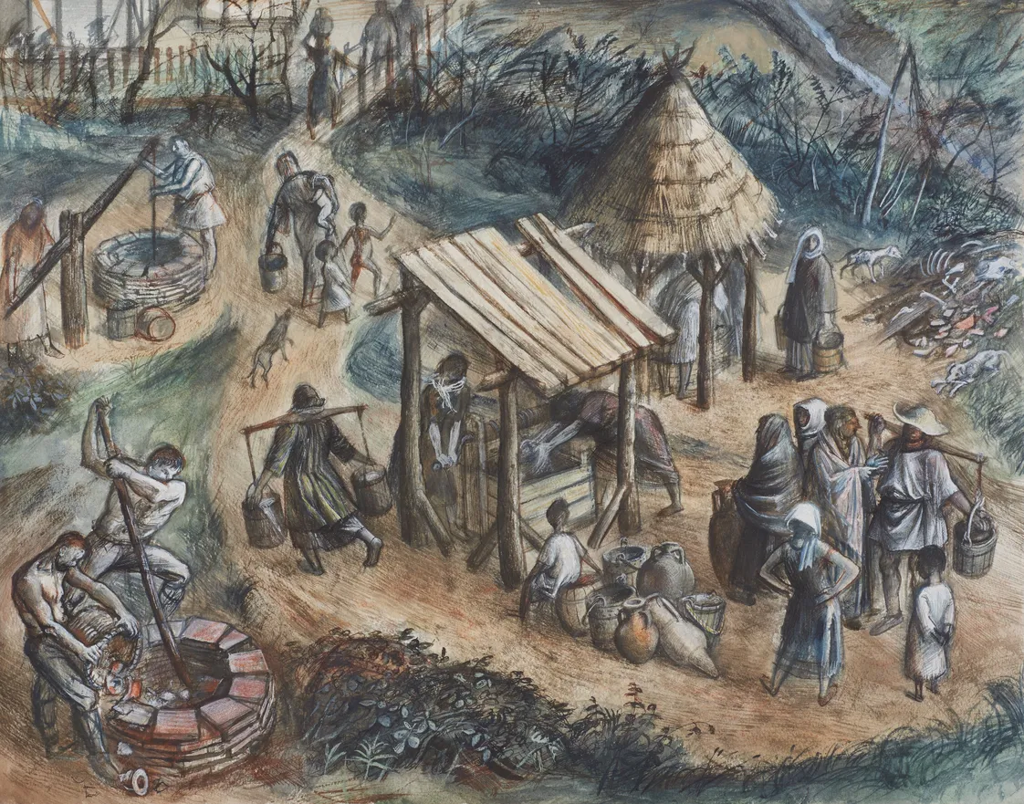
An exotic fruit and vegetable stall, Brixton Market (pastel drawing)
Williams, David A.N.
1988
-
-

-
 Death & Disasters
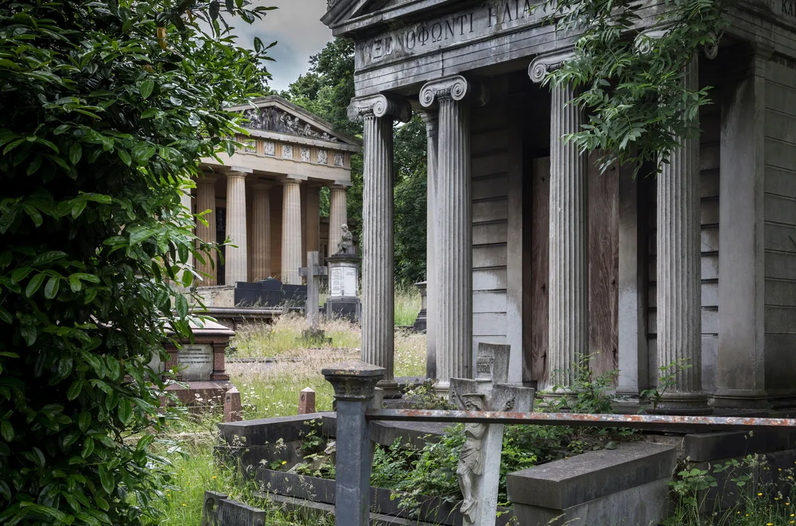
West Norwood Cemetery
One of south London’s Magnificent Seven – with a touch of ancient Greece
-
 Nature & Environment
Lost rivers: The Walbrook
This small but mighty river was vital to life in the Roman and medieval city
-
 Nature & Environment
Lost rivers: The Tyburn
Flowing under Mayfair and Buckingham Palace, the Tyburn shaped some of London’s wealthiest areas
-
 Nature & Environment
Lost rivers: The Westbourne
Until the 1800s, the Westbourne flowed through the countryside and could safely quench your thirst